Post-Processing Kinematic Drones
Identified Technologies, a drone solution provider, has confirmed that its Boomerang UAV is now available with integrated Post-Processing Kinematic (PPK), for clients in construction, energy, mining and other industries.
PPK reduces the need for laying of Ground Control Points (GCPs). It also saves companies thousands of man hours and increases the ease, accuracy and profitability of using a commercial drone solution. For applications like measuring stockpiles, PPK even eliminates the need for GCPs.
“If we did not have to lay ground control points, that would save us about 75% of the time we spend on data gathering in with the drone,” said Dustin Drost, survey party chief at Keystone Consultants, a Pittsburgh-based engineering and consulting firm.
Cassie Mittal, drone mapping customer success manager, said: ”Laying ground control and surveying each target has been the largest pain point for a lot of our customers. I’m excited to see PPK streamline their workflow and dramatically improve their accuracy.”
PPK can be used anywhere drones can be used, providing the fast, painless, gathering of accurate data at the push of a button. PPK is a similar GPS-correction technology to RTK, but eliminates the need for radio lock, making it more robust.
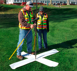
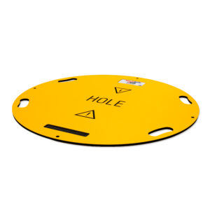
Laying ground control points.
Dick Zhang, CEO of Identified Technologies, said: “We are thrilled to be offering this groundbreaking technology to our clients. In addition to the 70-90% cost savings that drone mapping can provide, we are now able to help companies get that data faster, through easier and more intuitive process.”
Industrial leaders use Identified Technologies’ fully-managed commercial drone solution to increase project visibility and team productivity. Construction and excavation companies reduce their costs and win more business using job site data and analytics.
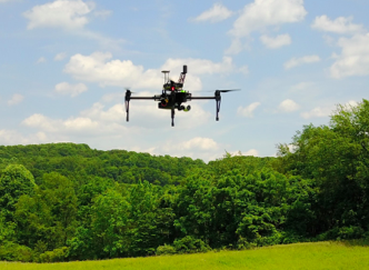
Using a PPK enabled drone.